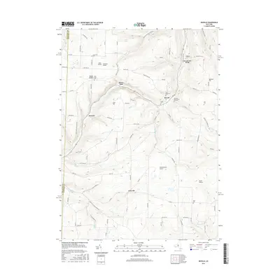
2016 Map of Rexville
USGS Topo · Published 2016About this map
Rexville and Barney Mills sit along the winding path of Marsh Cr, where steep hillsides define the rural geography of the Allegany and Steuben County border. This 21st-century survey documents a landscape of scattered small settlements and family-named hollows, including Quig Hollow and Christian Hollow. The area is notably dense with small burial grounds that serve as vital touchstones for genealogical research, such as Rough And Ready Cem near the uniquely named Rough and Ready community, and the New Saint Mary's Church Yard Cem.
Find a feature on this map
86 named features on this map. Tap any name to fly to it.
Don’t see what you’re looking for? This feature index may not catch every label — zoom into the map to look around manually.
Map Details
Editions of this 2016 Rexville Map
This is the sole edition of this map. No revisions or reprints were ever made.
Other maps of this area

1899 · Gaines
USGS Topo · 1:62,500

1900 · Gaines
USGS Topo · 1:62,500

1926 · Wellsville
USGS Topo · 1:62,500

1926 · Greenwood
USGS Topo · 1:62,500

1932 · Genesee
USGS Topo · 1:62,500

1937 · Genesee
USGS Topo · 1:62,500

1950 · Elmira
USGS Topo · 1:250,000

1954 · Williamsport
USGS Topo · 1:250,000

1954 · South Canisteo
USGS Topo · 1:24,000

1954 · Troupsburg
USGS Topo · 1:24,000