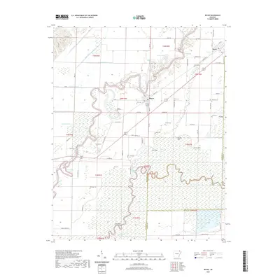
2020 Map of Reyno
USGS Topo · Published 2020About this map
The Current River and Black River define this corner of Northeast Arkansas, where the landscape is shaped by the complex hydrology of oxbow lakes and drainage ditches. The town of Biggers sits near the river banks, while Reyno lies to the northeast along the Randolph and Clay county line. The region is notable for its high density of family and community burial grounds, including the Old Reyno Cem, Johnston Cem, and Sparkman Cem, which serve as vital markers for local genealogists.
Find a feature on this map
86 named features on this map. Tap any name to fly to it.
Don’t see what you’re looking for? This feature index may not catch every label — zoom into the map to look around manually.
Map Details
Editions of this 2020 Reyno Map
This is the sole edition of this map. No revisions or reprints were ever made.
Other maps of this area

1932 · Walnut Ridge
USGS Topo · 1:62,500

1935 · Knobel
USGS Topo · 1:62,500

1935 · Reyno
USGS Topo · 1:62,500

1935 · Walnut Ridge
USGS Topo · 1:62,500

1940 · Gainesville
USGS Topo · 1:62,500

1941 · Knobel
USGS Topo · 1:62,500

1957 · Poplar Bluff
USGS Topo · 1:250,000

1958 · Gainesville
USGS Topo · 1:62,500

1959 · Poplar Bluff
USGS Topo · 1:250,000
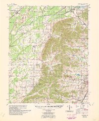
1960 · Gainesville
USGS Topo · 1:62,500