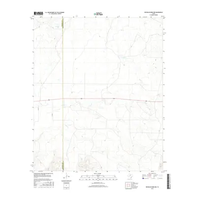
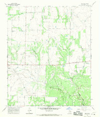
2016 Map of Reynolds Bend NW
USGS Topo · Published 2016About this map
The rolling plains along the boundary of Haskell and Throckmorton Counties define this 2016 topographical landscape. The area is characterized by a network of drainage features and livestock infrastructure, including the Pea Ridge Tank and the meandering paths of N Paint Cr and Bow Cr. Human impact on the land is represented primarily by a grid of county roads such as Co Rd 277 and Co Rd 279, alongside the prominent corridor of Route 380. The map illustrates the sparsely populated ranching and agricultural terrain of West Texas, where water features like these small creeks and tanks were essential for local land management and development.
Find a feature on this map
7 named features on this map. Tap any name to fly to it.
Don’t see what you’re looking for? This feature index may not catch every label — zoom into the map to look around manually.
Map Details
Editions of this 2016 Reynolds Bend NW Map
This is the sole edition of this map. No revisions or reprints were ever made.
Other maps of this area

1954 · Wichita Falls
USGS Topo · 1:250,000

1958 · Wichita Falls
USGS Topo · 1:250,000

1962 · Antelope Creek SW
USGS Topo · 1:24,000

1962 · Antelope Creek SE
USGS Topo · 1:24,000

1965 · Reynolds Bend NW
USGS Topo · 1:24,000
1966 · Hoover Mountain
USGS Topo · 1:24,000
1966 · Reynolds Bend
USGS Topo · 1:24,000

1966 · Tonk Creek
USGS Topo · 1:24,000
1966 · Lake Stamford East
USGS Topo · 1:24,000
1966 · Irby
USGS Topo · 1:24,000