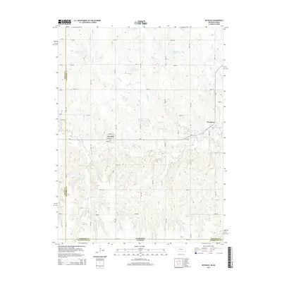
2014 Map of Reynolds
USGS Topo · Published 2014About this map
Reynolds and Thompson anchor this section of Jefferson County, where the topography is defined by the complex drainage of Buckley Cr and Rose Cr. The landscape is heavily modified by water management, featuring a series of named reservoirs such as Buckley Cr Reservoir 3-A, Buckley Creek Reservoir 3-F, and Hein Reservoir. These structures, alongside Priefert Reservoir to the west, illustrate the vital role of water storage in this rural agricultural corridor.
Find a feature on this map
37 named features on this map. Tap any name to fly to it.
Don’t see what you’re looking for? This feature index may not catch every label — zoom into the map to look around manually.
Map Details
Editions of this 2014 Reynolds Map
This is the sole edition of this map. No revisions or reprints were ever made.
Other maps of this area

1893 · Washington
USGS Topo · 1:125,000

1955 · Manhattan
USGS Topo · 1:250,000

1955 · Lincoln
USGS Topo · 1:250,000

1956 · Manhattan
USGS Topo · 1:250,000

1957 · Manhattan
USGS Topo · 1:250,000

1957 · Lincoln
USGS Topo · 1:250,000

1958 · Lincoln
USGS Topo · 1:250,000

1960 · Fairbury SW
USGS Topo · 1:24,000

1960 · Reynolds
USGS Topo · 1:24,000

1960 · Hubbell
USGS Topo · 1:24,000