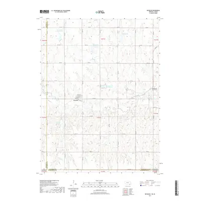
2017 Map of Reynolds
USGS Topo · Published 2017About this map
Reynolds sits at the intersection of local history and agricultural utility on the Jefferson County line, just north of the border with Washington County, Kansas. The village is defined by its street grid, including N Railway St, Pemberton St, and Avery St, reflecting a community built around the transportation corridor. To the west, Rose Cem serves as a significant genealogical landmark for the area. The surrounding landscape is dominated by a sophisticated network of water management features, including Buckley Creek Reservoir 3-A, Buckley Creek Reservoir 4-B, and Buckley Creek Reservoir 3-F. These reservoirs, along with Rose Cr and Wiley Cr, underscore the region's reliance on managed water systems to support its rural economy. The township lines of t1n r1e and t2n r1e frame a terrain of section roads that provide access to more remote locations like Thompson and Hein Reservoir.
Find a feature on this map
57 named features on this map. Tap any name to fly to it.
Don’t see what you’re looking for? This feature index may not catch every label — zoom into the map to look around manually.
Map Details
Editions of this 2017 Reynolds Map
This is the sole edition of this map. No revisions or reprints were ever made.
Other maps of this area

1893 · Washington
USGS Topo · 1:125,000

1955 · Manhattan
USGS Topo · 1:250,000

1955 · Lincoln
USGS Topo · 1:250,000

1956 · Manhattan
USGS Topo · 1:250,000

1957 · Manhattan
USGS Topo · 1:250,000

1957 · Lincoln
USGS Topo · 1:250,000

1958 · Lincoln
USGS Topo · 1:250,000

1960 · Fairbury SW
USGS Topo · 1:24,000

1960 · Reynolds
USGS Topo · 1:24,000

1960 · Hubbell
USGS Topo · 1:24,000