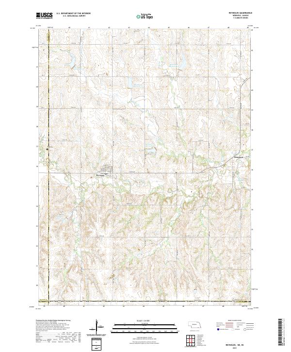
2021 Map of Reynolds
USGS Topo · Published 2021About this map
Reynolds and the nearby community of Thompson sit within a landscape defined by the intersection of Jefferson and Thayer counties along the Kansas border. This rural area is characterized by a high density of water management features, specifically the series of impoundments along Buckley Cr, including Buckley Cr Reservoir 4-B and Buckley Cr Reservoir 3-D. The town site of Reynolds is well-documented with street names like Pemberton St and Avery St, alongside a post office and the N Railway St corridor, reflecting the community's historical rail orientation.
Find a feature on this map
56 named features on this map. Tap any name to fly to it.
Don’t see what you’re looking for? This feature index may not catch every label — zoom into the map to look around manually.
Map Details
Editions of this 2021 Reynolds Map
This is the sole edition of this map. No revisions or reprints were ever made.
Other maps of this area

1893 · Washington
USGS Topo · 1:125,000

1955 · Manhattan
USGS Topo · 1:250,000

1955 · Lincoln
USGS Topo · 1:250,000

1956 · Manhattan
USGS Topo · 1:250,000

1957 · Manhattan
USGS Topo · 1:250,000

1957 · Lincoln
USGS Topo · 1:250,000

1958 · Lincoln
USGS Topo · 1:250,000

1960 · Fairbury SW
USGS Topo · 1:24,000

1960 · Reynolds
USGS Topo · 1:24,000

1960 · Hubbell
USGS Topo · 1:24,000