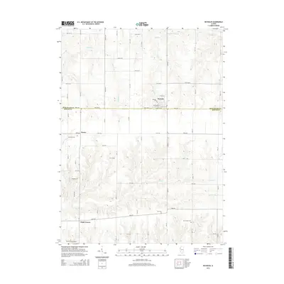
2015 Map of Reynolds
USGS Topo · Published 2015About this map
Reynolds sits at the northern edge of this agricultural landscape, straddling the border between Rock Island Co and Mercer Co. This 2015 survey reveals a terrain defined by a dense network of country roads and winding watercourses like Copperas Cr and Mill Cr. For genealogists and local historians, the map is a significant record of the area's burial sites, including the Saint Joseph's Cem, Hamlet Cem, and the more secluded Gray Cem and Corns Cem. To the south, the small settlements of Hamlet and Gingle Corners anchor the rural intersections, while the Mercer County Airport serves the region from the southwestern corner. The intricate topography along Camp Cr and N Camp Cr illustrates the erosional patterns of the Illinois prairie as it transitions toward the Mississippi valley.
Find a feature on this map
33 named features on this map. Tap any name to fly to it.
Don’t see what you’re looking for? This feature index may not catch every label — zoom into the map to look around manually.
Map Details
Editions of this 2015 Reynolds Map
This is the sole edition of this map. No revisions or reprints were ever made.
Other maps of this area

1912 · Milan
USGS Topo · 1:62,500

1916 · Edgington
USGS Topo · 1:62,500

1923 · Alexis
USGS Topo · 1:62,500

1925 · Alexis
USGS Topo · 1:62,500

1935 · Keithsburg
USGS Topo · 1:48,000

1938 · Edgington
USGS Topo · 1:62,500

1941 · Keithsburg
USGS Topo · 1:62,500

1944 · Milan
USGS Topo · 1:62,500
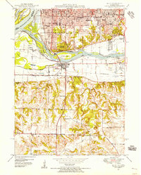
1948 · Milan
USGS Topo · 1:24,000

1950 · Milan
USGS Topo · 1:24,000