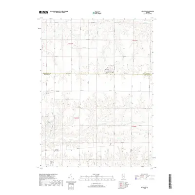
2018 Map of Reynolds
USGS Topo · Published 2018About this map
The village of Reynolds straddles the boundary between Rock Island and Mercer Counties, serving as a focal point for this agrarian landscape in western Illinois. The township structure is clearly defined by a grid of numbered avenues and county highways, including Co Hwy 1 and Co Hwy 17, which connect the primary settlements of Hamlet and Gingle Corners. The terrain is characterized by the dendritic drainage patterns of Camp Cr and its northern branch, N Camp Cr, which carve through the till plains. Local history is anchored by long-standing landmarks such as Saint Joseph's Ch and several small burial grounds like Gray Cem and Corns Cem. Transportation infrastructure is further represented by the Mercer County Airport located in the southwestern corner, reflecting the modern utility of this rural region.
Find a feature on this map
38 named features on this map. Tap any name to fly to it.
Don’t see what you’re looking for? This feature index may not catch every label — zoom into the map to look around manually.
Map Details
Editions of this 2018 Reynolds Map
This is the sole edition of this map. No revisions or reprints were ever made.
Other maps of this area

1912 · Milan
USGS Topo · 1:62,500

1916 · Edgington
USGS Topo · 1:62,500

1923 · Alexis
USGS Topo · 1:62,500

1925 · Alexis
USGS Topo · 1:62,500

1935 · Keithsburg
USGS Topo · 1:48,000

1938 · Edgington
USGS Topo · 1:62,500

1941 · Keithsburg
USGS Topo · 1:62,500

1944 · Milan
USGS Topo · 1:62,500
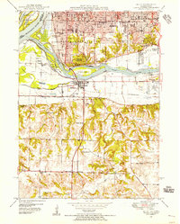
1948 · Milan
USGS Topo · 1:24,000

1950 · Milan
USGS Topo · 1:24,000