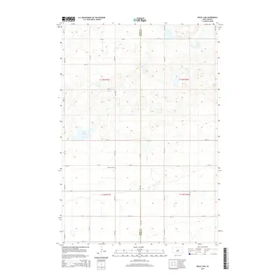
2015 Map of Rezac Lake
USGS Topo · Published 2015About this map
Bohemian Cem sits at the intersection of 179th St and 342nd Ave, serving as a central point of historical reference in this prairie landscape along the Hyde and Hand County line. The terrain is defined by the shallow waters of Rezac Lake and the winding paths of Lost Cr and Balvin Cr. This 2015 survey illustrates a rural South Dakota grid system, where long stretches of roads like 340th Ave and 181st St segment the land into traditional township and range divisions. The sparse distribution of named features highlights the region's agricultural character, preserved in the large sections of t116n r71w and t115n r70w that dominate the quadrangle.
Find a feature on this map
24 named features on this map. Tap any name to fly to it.
Don’t see what you’re looking for? This feature index may not catch every label — zoom into the map to look around manually.
Map Details
Editions of this 2015 Rezac Lake Map
This is the sole edition of this map. No revisions or reprints were ever made.
Other maps of this area

1949 · Ree Heights NW
USGS Topo · 1:24,000

1949 · Mitchell Lake
USGS Topo · 1:24,000

1950 · Highmore NE
USGS Topo · 1:24,000

1950 · Mitchell Lake
USGS Topo · 1:24,000

1950 · Rezac Lake NE
USGS Topo · 1:24,000

1950 · Rezac Lake
USGS Topo · 1:24,000

1951 · Rezac Lake NE
USGS Topo · 1:24,000

1951 · Rice Lake
USGS Topo · 1:24,000

1951 · Ree Heights NW
USGS Topo · 1:24,000

1951 · Orient SW
USGS Topo · 1:24,000