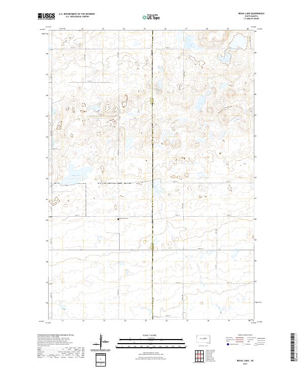
2021 Map of Rezac Lake
USGS Topo · Published 2021About this map
Bohemian Cem sits at the intersection of 179th St and Co Rd 960, serving as a central point for genealogy research in this corner of the Dakota plains. This landscape along the boundary of Hyde and Hand counties is defined by its section-line road network and numerous small depressions typical of the regional topography. Water features are concentrated in the western and central portions, most notably at Rezac Lake and the winding course of Baloun Cr. Farther east, the drainage of Lost Creek (also labeled Lost Cr) cuts through the sections, illustrating the rural character of the area where transportation is guided by a rigid grid of avenues and streets, such as 345th Ave and 180th St.
Find a feature on this map
26 named features on this map. Tap any name to fly to it.
Don’t see what you’re looking for? This feature index may not catch every label — zoom into the map to look around manually.
Map Details
Editions of this 2021 Rezac Lake Map
This is the sole edition of this map. No revisions or reprints were ever made.
Other maps of this area

1949 · Ree Heights NW
USGS Topo · 1:24,000

1949 · Mitchell Lake
USGS Topo · 1:24,000

1950 · Highmore NE
USGS Topo · 1:24,000

1950 · Mitchell Lake
USGS Topo · 1:24,000

1950 · Rezac Lake NE
USGS Topo · 1:24,000

1950 · Rezac Lake
USGS Topo · 1:24,000

1951 · Rezac Lake NE
USGS Topo · 1:24,000

1951 · Rice Lake
USGS Topo · 1:24,000

1951 · Ree Heights NW
USGS Topo · 1:24,000

1951 · Orient SW
USGS Topo · 1:24,000