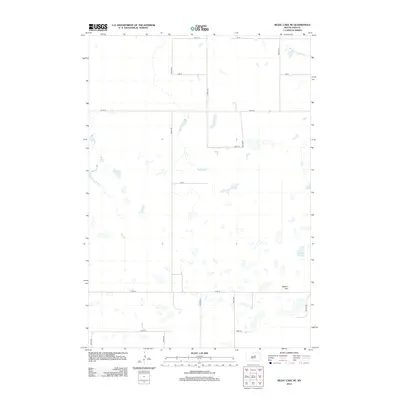
2012 Map of Rezac Lake NE
USGS Topo · Published 2012About this map
Waters Hill and the adjacent Hill Spring define the eastern reach of this prairie landscape in Faulk County, South Dakota. This 2012 survey reveals a classic rural section-line grid system, where long stretches of unpaved roads such as 165th St and 342nd Ave partition the open territory. The terrain is characterized by numerous small, seasonal prairie potholes and depressions scattered across the landscape, illustrating the internal drainage patterns typical of this region. The absence of a centralized town site highlights a late-twentieth and early-twenty-first-century agrarian structure where the landscape is organized by connectivity between disparate farmsteads and fields rather than a concentrated village center. Named topographic features like Waters Hill provide essential landmarks for navigation across this otherwise uniform terrain, serving as vital reference points for local history and land management.
Find a feature on this map
16 named features on this map. Tap any name to fly to it.
Don’t see what you’re looking for? This feature index may not catch every label — zoom into the map to look around manually.
Map Details
Editions of this 2012 Rezac Lake NE Map
This is the sole edition of this map. No revisions or reprints were ever made.
Other maps of this area

1950 · Rezac Lake NE
USGS Topo · 1:24,000

1950 · Rezac Lake
USGS Topo · 1:24,000

1951 · Rezac Lake NE
USGS Topo · 1:24,000

1951 · Rice Lake
USGS Topo · 1:24,000

1951 · Orient SW
USGS Topo · 1:24,000

1951 · Rezac Lake
USGS Topo · 1:24,000

1951 · Orient NW
USGS Topo · 1:24,000

1951 · Rezac Lake NW
USGS Topo · 1:24,000

1952 · Burkmere
USGS Topo · 1:24,000

1952 · Onaka SW
USGS Topo · 1:24,000