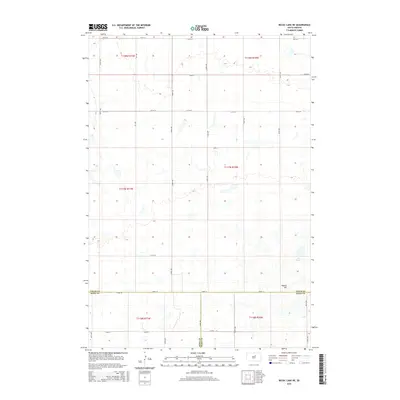
2015 Map of Rezac Lake NE
USGS Topo · Published 2015About this map
Waters Hill stands as a prominent landmark in this prairie landscape, situated near the intersection of Faulk, Hyde, and Hand counties. This 2015 survey reveals a terrain defined by its intricate hydrography, where numerous small water bodies and seasonal basins dot the sections between the grid of rural roads. The area is anchored by the presence of Hill Spring and the nearby rise of Waters Hill, providing rare topographic relief in an otherwise expansive agricultural and grazing district.
Find a feature on this map
26 named features on this map. Tap any name to fly to it.
Don’t see what you’re looking for? This feature index may not catch every label — zoom into the map to look around manually.
Map Details
Editions of this 2015 Rezac Lake NE Map
This is the sole edition of this map. No revisions or reprints were ever made.
Other maps of this area

1950 · Rezac Lake NE
USGS Topo · 1:24,000

1950 · Rezac Lake
USGS Topo · 1:24,000

1951 · Rezac Lake NE
USGS Topo · 1:24,000

1951 · Rice Lake
USGS Topo · 1:24,000

1951 · Orient SW
USGS Topo · 1:24,000

1951 · Rezac Lake
USGS Topo · 1:24,000

1951 · Orient NW
USGS Topo · 1:24,000

1951 · Rezac Lake NW
USGS Topo · 1:24,000

1952 · Burkmere
USGS Topo · 1:24,000

1952 · Onaka SW
USGS Topo · 1:24,000