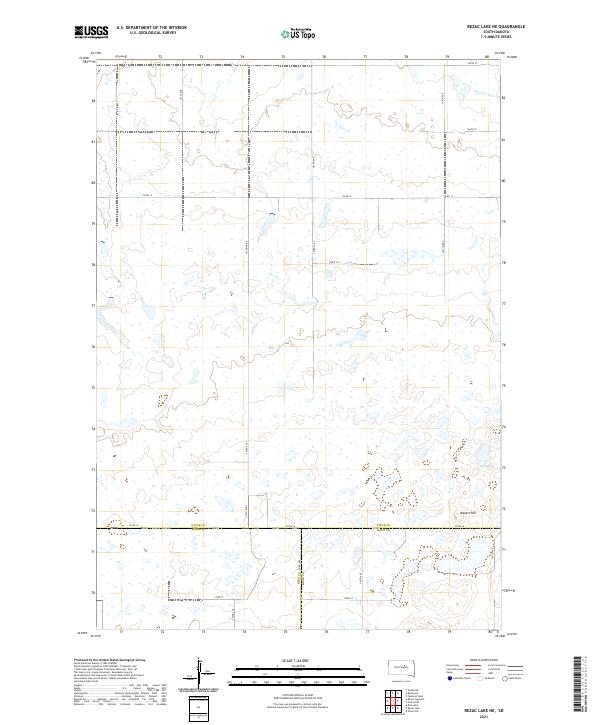
2021 Map of Rezac Lake NE
USGS Topo · Published 2021About this map
Waters Hill rises above the prairie in a landscape defined by the convergence of three South Dakota counties. This remote agricultural territory is marked by the complex boundary line where Faulk Co Hyde Co, Faulk Co Hand Co, and Hyde Co Hand Co meet. The terrain is pocketed with numerous small wetlands and seasonal basins typical of the region's glacially formed topography. Hill Spring provides a rare named water source in the southeastern corner of the quadrangle, situated near the elevation of Waters Hill. A strictly orthogonal road network, including Co Rd 12 and Co Rd 16, sections the land into vast reaches of open range and field, reflecting the enduring legacy of the Public Land Survey System in organizing the rural midwestern frontier.
Find a feature on this map
25 named features on this map. Tap any name to fly to it.
Don’t see what you’re looking for? This feature index may not catch every label — zoom into the map to look around manually.
Map Details
Editions of this 2021 Rezac Lake NE Map
This is the sole edition of this map. No revisions or reprints were ever made.
Other maps of this area

1950 · Rezac Lake NE
USGS Topo · 1:24,000

1950 · Rezac Lake
USGS Topo · 1:24,000

1951 · Rezac Lake NE
USGS Topo · 1:24,000

1951 · Rice Lake
USGS Topo · 1:24,000

1951 · Orient SW
USGS Topo · 1:24,000

1951 · Rezac Lake
USGS Topo · 1:24,000

1951 · Orient NW
USGS Topo · 1:24,000

1951 · Rezac Lake NW
USGS Topo · 1:24,000

1952 · Burkmere
USGS Topo · 1:24,000

1952 · Onaka SW
USGS Topo · 1:24,000