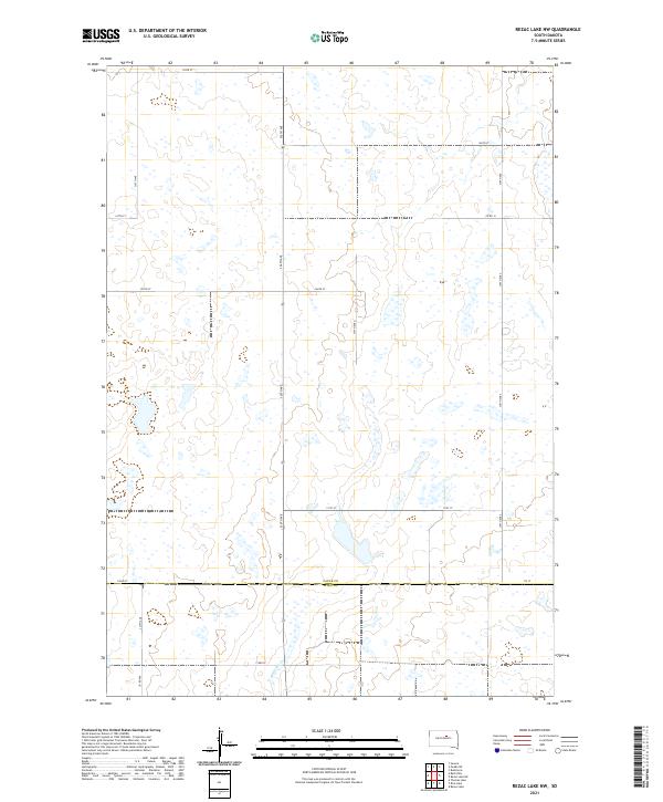
2021 Map of Rezac Lake NW
USGS Topo · Published 2021About this map
Medicine Cr winds through this sparsely settled section of the Great Plains, marking the primary drainage in an area defined by its systematic township and range organization. The landscape is primarily shaped by agriculture and water management, with numerous small depressions and wetland basins typical of this region's glacial till. The boundary between Faulk Co and Hyde Co runs horizontally through the southern portion of the quadrangle, primarily along 172nd St. This transition between counties is reflected in the grid of section lines and secondary roads like 334th Ave and 336th Ave that provide access to the vast open sections. The lack of concentrated settlements underscores the rural nature of the territory during this period, where local travel relied on a network of routes such as Co Rd 12 and Co Rd 160.
Find a feature on this map
22 named features on this map. Tap any name to fly to it.
Don’t see what you’re looking for? This feature index may not catch every label — zoom into the map to look around manually.
Map Details
Editions of this 2021 Rezac Lake NW Map
This is the sole edition of this map. No revisions or reprints were ever made.
Other maps of this area

1950 · Rezac Lake NE
USGS Topo · 1:24,000

1950 · Rezac Lake
USGS Topo · 1:24,000

1951 · Rezac Lake NE
USGS Topo · 1:24,000

1951 · Rice Lake
USGS Topo · 1:24,000

1951 · Rezac Lake
USGS Topo · 1:24,000

1951 · Rezac Lake NW
USGS Topo · 1:24,000

1952 · Burkmere
USGS Topo · 1:24,000

1952 · Onaka SW
USGS Topo · 1:24,000

1953 · Huron
USGS Topo · 1:250,000

1954 · Aberdeen
USGS Topo · 1:250,000