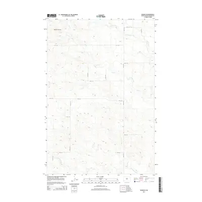
2014 Map of Rhame SE
USGS Topo · Published 2014About this map
Medicine Pole Hills rise prominently in the northwestern corner of this territory, providing a high-ground anchor to a landscape defined by seasonal drainages. The drainage of the N Fork Grand River cuts through the southern reaches, while the meandering paths of Alkali Cr and Cold Turkey Cr create a network of coulees and draws across the central and northern plains. This modern topographic study reveals a strictly organized grid of rural roads, including 152nd Ave SW and 94th St SW, which trace the section lines typical of the High Plains ranching country. The lack of concentrated settlements highlights the sparsely populated nature of the region, where the primary human imprint is this geometric network of gravel roads and occasional livestock tanks.
Find a feature on this map
18 named features on this map. Tap any name to fly to it.
Don’t see what you’re looking for? This feature index may not catch every label — zoom into the map to look around manually.
Map Details
Editions of this 2014 Rhame SE Map
This is the sole edition of this map. No revisions or reprints were ever made.
Other maps of this area

1935 · Reva
USGS Topo · 1:125,000

1935 · Buffalo
USGS Topo · 1:125,000

1953 · Dickinson
USGS Topo · 1:250,000

1954 · Lemmon
USGS Topo · 1:250,000

1957 · Dickinson
USGS Topo · 1:250,000

1957 · Lemmon
USGS Topo · 1:250,000

1968 · Bowman SW
USGS Topo · 1:24,000

1968 · Bowman
USGS Topo · 1:24,000

1968 · Eagles Nest Butte
USGS Topo · 1:24,000

1969 · Ladner NE
USGS Topo · 1:24,000