
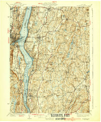
1939 Map of Rhinebeck
USGS Topo · Published 1939About this map
The Hudson River corridor serves as the primary artery for transport and commerce in this pre-war survey, dividing the land between Ulster and Dutchess Counties. Along the eastern bank, the New York Central RR traces the shoreline, connecting riverside landings like Rhinecliff and Staatsburg to the broader region. On the opposite shore, the West Shore RR services the hilly terrain near Port Ewen and Ulster Landing. The interior of the landscape is dotted with numerous one-room schoolhouses, such as Miller Sch and Schultz Hill Sch, reflecting a highly localized rural education system before the era of widespread school consolidation.
Find a feature on this map
127 named features on this map. Tap any name to fly to it.
Don’t see what you’re looking for? This feature index may not catch every label — zoom into the map to look around manually.
Map Details
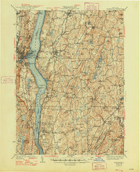
Editions of this 1939 Rhinebeck Map
3 editions found
Other maps of this area

1892 · Kaaterskill
USGS Topo · 1:62,500

1893 · Kaaterskill
USGS Topo · 1:62,500

1893 · Clove
USGS Topo · 1:62,500

1893 · Poughkeepsie
USGS Topo · 1:62,500

1894 · Clove
USGS Topo · 1:62,500

1894 · Kaaterskill
USGS Topo · 1:62,500

1894 · Poughkeepsie
USGS Topo · 1:62,500

1895 · Catskill
USGS Topo · 1:62,500

1898 · Clove
USGS Topo · 1:62,500

1898 · Rhinebeck
USGS Topo · 1:62,500