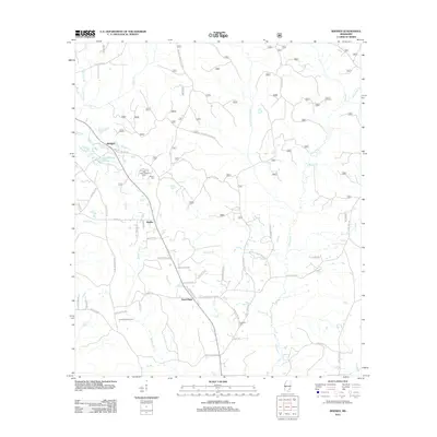
2012 Map of Rhodes
USGS Topo · Published 2012About this map
Blodgett and the rural crossroads of Rhodes and Good Hope anchor this landscape in Jones County, Mississippi, during the early 21st century. The area is defined by a dense network of creek branches, including Tiger Creek, Thompson Creek, and Pine Log Branch, which wind through the timberlands and small agricultural holdings. A notable landmark is the Tiger Creek Lookout Tower, standing near Brown Cemetery as a sentinel for the surrounding forest.
Find a feature on this map
99 named features on this map. Tap any name to fly to it.
Don’t see what you’re looking for? This feature index may not catch every label — zoom into the map to look around manually.
Map Details
Editions of this 2012 Rhodes Map
This is the sole edition of this map. No revisions or reprints were ever made.
Other maps of this area

1953 · Hattiesburg
USGS Topo · 1:250,000

1958 · Hattiesburg
USGS Topo · 1:250,000

1963 · Brewer
USGS Topo · 1:24,000

1964 · Rhodes
USGS Topo · 1:24,000

1964 · Ovett SE
USGS Topo · 1:24,000

1964 · Ovett
USGS Topo · 1:24,000

1964 · Richton
USGS Topo · 1:24,000

1964 · Strengthford
USGS Topo · 1:24,000

1964 · Mulberry
USGS Topo · 1:24,000

1964 · Lanham
USGS Topo · 1:24,000