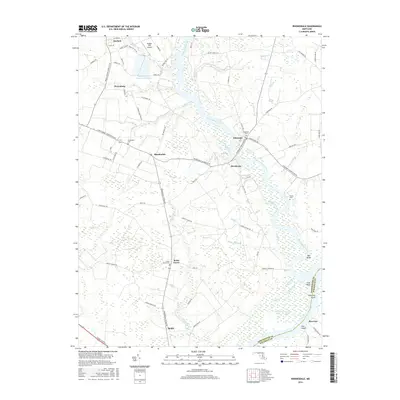
2016 Map of Rhodesdale
USGS Topo · Published 2016About this map
Marshyhope Creek serves as the central waterway of this Dorchester County landscape, winding south past Eldorado and Brookview toward its confluence with the Nanticoke River. The region's agricultural and rural character is defined by a network of local roads connecting small settlements like Rhodesdale, Petersburg, and Reids Grove. To the north, the Chester River Country Club Lake and Hidden Hills Airport provide distinct landmarks near Hurlock.
Find a feature on this map
84 named features on this map. Tap any name to fly to it.
Don’t see what you’re looking for? This feature index may not catch every label — zoom into the map to look around manually.
Map Details
Editions of this 2016 Rhodesdale Map
This is the sole edition of this map. No revisions or reprints were ever made.
Other maps of this area

1901 · Salisbury
USGS Topo · 1:62,500

1903 · Nanticoke
USGS Topo · 1:62,500

1905 · Hurlock
USGS Topo · 1:62,500

1915 · Seaford
USGS Topo · 1:62,500

1942 · Mardela Springs
USGS Topo · 1:24,000

1942 · Hebron
USGS Topo · 1:24,000
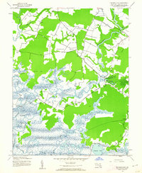
1942 · Chicamacomico
USGS Topo · 1:24,000
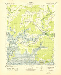
1943 · Chicamacomico
USGS Topo · 1:31,680
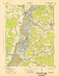
1943 · Mardela Springs
USGS Topo · 1:31,680

1943 · Hebron
USGS Topo · 1:31,680