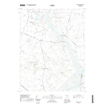
2019 Map of Rhodesdale
USGS Topo · Published 2019About this map
Marshyhope Creek defines the central geography of this Eastern Shore landscape, winding southward toward its confluence with the Nanticoke River at the boundary between Dorchester and Wicomico counties. The settlement pattern is characterized by small crossroads communities and historic river landings, including the clustered town of Hurlock and the smaller hamlets of Rhodesdale and Brookview. Numerous family and community burial grounds, such as McKendree Cem and Dukes Cem, are scattered among the agricultural fields and wooded creek bottoms.
Find a feature on this map
80 named features on this map. Tap any name to fly to it.
Don’t see what you’re looking for? This feature index may not catch every label — zoom into the map to look around manually.
Map Details
Editions of this 2019 Rhodesdale Map
This is the sole edition of this map. No revisions or reprints were ever made.
Other maps of this area

1901 · Salisbury
USGS Topo · 1:62,500

1903 · Nanticoke
USGS Topo · 1:62,500

1905 · Hurlock
USGS Topo · 1:62,500

1915 · Seaford
USGS Topo · 1:62,500

1942 · Mardela Springs
USGS Topo · 1:24,000

1942 · Hebron
USGS Topo · 1:24,000
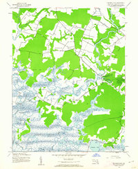
1942 · Chicamacomico
USGS Topo · 1:24,000
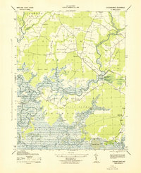
1943 · Chicamacomico
USGS Topo · 1:31,680
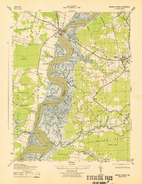
1943 · Mardela Springs
USGS Topo · 1:31,680

1943 · Hebron
USGS Topo · 1:31,680