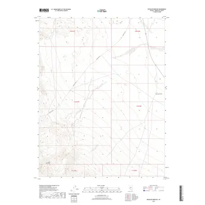
2018 Map of Rhyolite Ridge NE
USGS Topo · Published 2018About this map
The Silver Peak Range dominates the southwestern quadrant of this Esmeralda County landscape, its steep contours descending toward the expansive Big Smoky Valley to the east. This section of Nevada terrain is defined by its vast elevation changes and the legacy of travel through the high desert. Emigrant Pass Rd snakes through the mountainous terrain, following a historical corridor used by those traversing the Great Basin. The map's township and range grid, including t1n r37e and t2n r38e, provides a framework for understanding the public land survey system in this mineral-rich region. The stark contrast between the high peaks and the valley floor illustrates the typical basin and range topography that shaped early Nevada prospecting and transit routes.
Find a feature on this map
9 named features on this map. Tap any name to fly to it.
Don’t see what you’re looking for? This feature index may not catch every label — zoom into the map to look around manually.
Map Details
Editions of this 2018 Rhyolite Ridge NE Map
This is the sole edition of this map. No revisions or reprints were ever made.
Other maps of this area

1898 · Silver Peak
USGS Topo · 1:125,000

1900 · Silver Peak
USGS Topo · 1:125,000

1907 · Tonopah
USGS Topo · 1:250,000

1908 · Lida
USGS Topo · 1:250,000

1908 · Tonopah
USGS Topo · 1:250,000

1913 · Lida
USGS Topo · 1:250,000

1954 · Goldfield
USGS Topo · 1:250,000

1955 · Goldfield
USGS Topo · 1:250,000

1956 · Tonopah
USGS Topo · 1:250,000

1958 · Goldfield
USGS Topo · 1:250,000