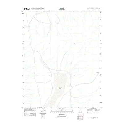
2011 Map of Rhyolite Ridge NW
USGS Topo · Published 2011About this map
Fish Lake Valley Marsh dominates the central basin of this Esmeralda County landscape, indicating a significant drainage area in an otherwise arid region. The presence of Gap Spring to the northwest suggests a critical water source for early travelers and livestock in this corner of Nevada. Movement through the terrain is defined by Emigrant Pass Rd, which winds through the southern reaches toward Emigrant Pass. The prominence of Emigrant Peak in the northeast serves as a major topographical anchor for the area. This 2011 survey by the U.S. Geological Survey shows a land characterized by vast drainage patterns and sparse, strategically located water points that have likely dictated human passage for generations.
Find a feature on this map
5 named features on this map. Tap any name to fly to it.
Don’t see what you’re looking for? This feature index may not catch every label — zoom into the map to look around manually.
Map Details
Editions of this 2011 Rhyolite Ridge NW Map
This is the sole edition of this map. No revisions or reprints were ever made.
Other maps of this area

1898 · Silver Peak
USGS Topo · 1:125,000

1900 · Silver Peak
USGS Topo · 1:125,000

1907 · Tonopah
USGS Topo · 1:250,000

1908 · Lida
USGS Topo · 1:250,000

1908 · Tonopah
USGS Topo · 1:250,000

1909 · Hawthorne
USGS Topo · 1:250,000

1911 · Hawthorne
USGS Topo · 1:250,000

1913 · Lida
USGS Topo · 1:250,000

1915 · Hawthorne
USGS Topo · 1:250,000

1917 · White Mountain
USGS Topo · 1:125,000