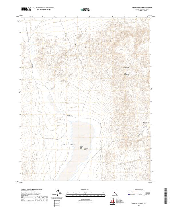
2021 Map of Rhyolite Ridge NW
USGS Topo · Published 2021About this map
Gap Spring provides a rare and vital water source in this high desert landscape within Esmeralda County. The terrain is defined by the sharp elevations of the Silver Peak Range and the surrounding peaks, transitioning into the expansive northern reaches of Fish Lake Valley. This 2021 update from the U.S. Geological Survey reflects the modern topographic character of the region, focusing on the complex natural drainage patterns and dry wash systems that shape the basin. The map illustrates the sparse infrastructure of this part of Nevada, dominated by section lines and elevation contours that trace the steep ridges and low marshy flats.
Find a feature on this map
1 named feature on this map. Tap any name to fly to it.
Don’t see what you’re looking for? This feature index may not catch every label — zoom into the map to look around manually.
Map Details
Editions of this 2021 Rhyolite Ridge NW Map
This is the sole edition of this map. No revisions or reprints were ever made.
Other maps of this area

1898 · Silver Peak
USGS Topo · 1:125,000

1900 · Silver Peak
USGS Topo · 1:125,000

1907 · Tonopah
USGS Topo · 1:250,000

1908 · Lida
USGS Topo · 1:250,000

1908 · Tonopah
USGS Topo · 1:250,000

1909 · Hawthorne
USGS Topo · 1:250,000

1911 · Hawthorne
USGS Topo · 1:250,000

1913 · Lida
USGS Topo · 1:250,000

1915 · Hawthorne
USGS Topo · 1:250,000

1917 · White Mountain
USGS Topo · 1:125,000