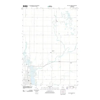
2010 Map of Rice Lake North
USGS Topo · Published 2010About this map
The Brill River flows southward through a landscape defined by glacial water bodies and small agricultural crossroads at the start of the 21st century. The northern reaches of Rice Lake anchor the map, where residential development transitions into the more open country of Dobie and Campia. The area’s religious and social history is grounded in several local landmarks, including Our Lady of Lourdes Catholic Cemetery and Our Saviors Lutheran Cemetery.
Find a feature on this map
44 named features on this map. Tap any name to fly to it.
Don’t see what you’re looking for? This feature index may not catch every label — zoom into the map to look around manually.
Map Details
Editions of this 2010 Rice Lake North Map
This is the sole edition of this map. No revisions or reprints were ever made.
Other maps of this area

1949 · Rice Lake
USGS Topo · 1:48,000

1951 · Shell Lake
USGS Topo · 1:48,000

1951 · Rice Lake
USGS Topo · 1:48,000

1951 · Chetek
USGS Topo · 1:62,500

1951 · Barron
USGS Topo · 1:62,500

1953 · Rice Lake
USGS Topo · 1:250,000

1959 · Rice Lake
USGS Topo · 1:250,000

1965 · Rice Lake
USGS Topo · 1:62,500

1965 · Shell Lake
USGS Topo · 1:62,500
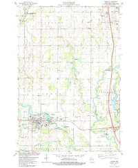
1978 · Barron
USGS Topo · 1:24,000