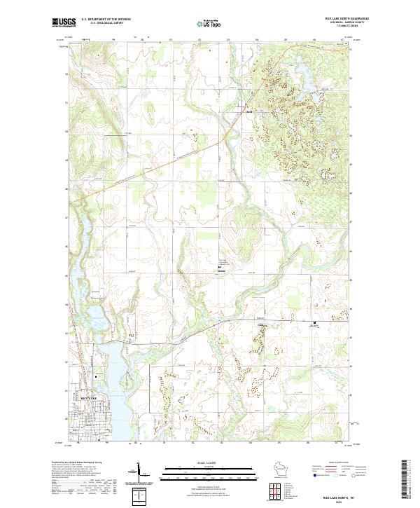
2022 Map of Rice Lake North
USGS Topo · Published 2022About this map
The Red Cedar River and Brill River converge in this portion of Barron County, shaping a landscape defined by glacial activity and modern trail systems. The northern reaches of Rice Lake occupy the southwestern corner of the map, where the city grid meets the water near Stump Lake and Bear Creek. Rural life is centered around the small settlements of Brill, Dobie, and Campia, each serving as a historical waypoint for the surrounding farming community.
Find a feature on this map
45 named features on this map. Tap any name to fly to it.
Don’t see what you’re looking for? This feature index may not catch every label — zoom into the map to look around manually.
Map Details
Editions of this 2022 Rice Lake North Map
This is the sole edition of this map. No revisions or reprints were ever made.
Historical Maps of Cedar Lake Through Time
18 maps found
1978 Arland
Barron County, WI
1978 Dority Creek
Barron County, WI
1978 Moose Ear Lake
Barron County, WI
1978 Poskin
Barron County, WI
1978 Rice Lake South
Barron County, WI
1978 Strickland
Barron County, WI
1981 Mikana
Barron County, WI
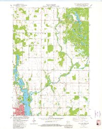
1981 Rice Lake North
Barron County, WI
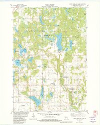
1982 Lower Vermillion Lake
Barron County, WI
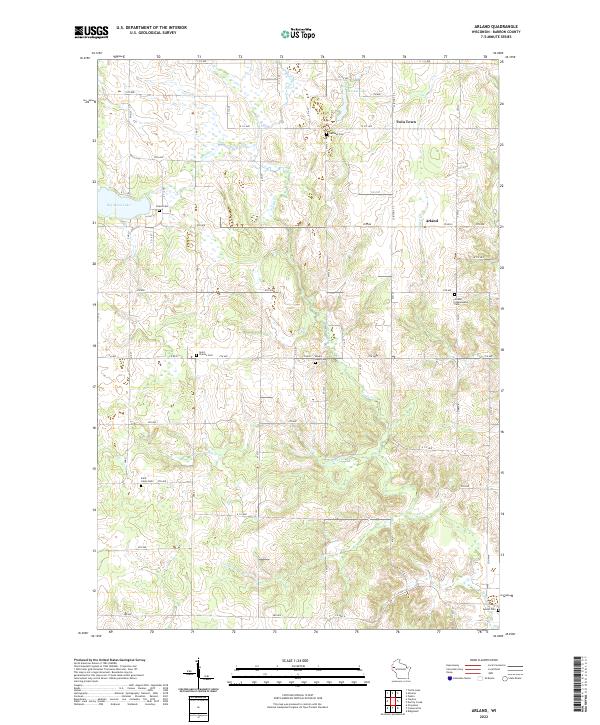
2022 Arland
Barron County, WI
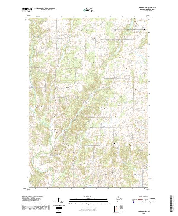
2022 Dorrity Creek
Barron County, WI
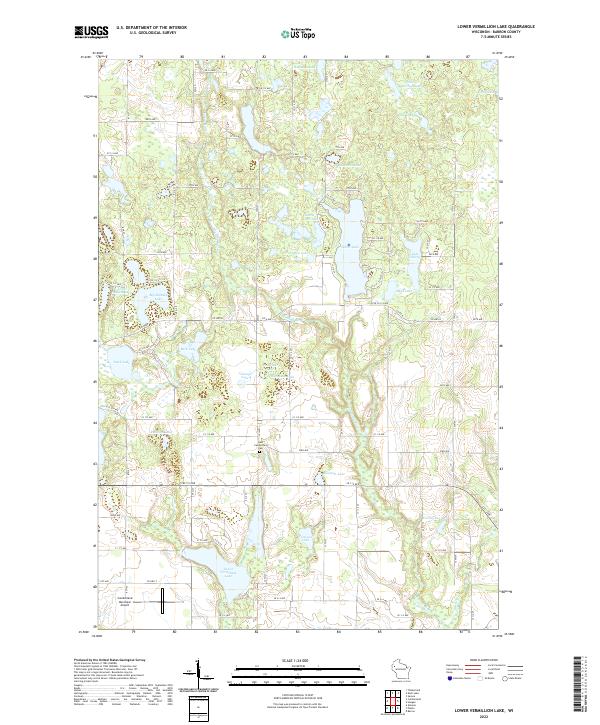
2022 Lower Vermillion Lake
Barron County, WI
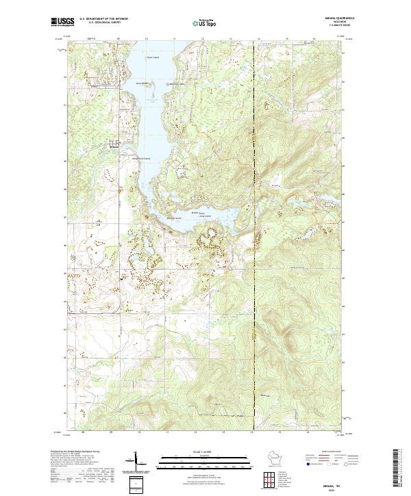
2022 Mikana
Barron County, WI
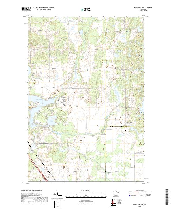
2022 Moose Ear Lake
Barron County, WI
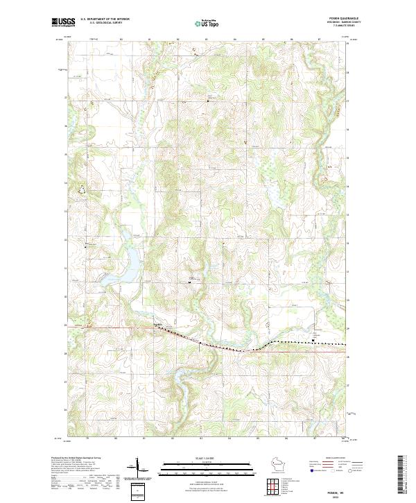
2022 Poskin
Barron County, WI
2022 Rice Lake North
Barron County, WI
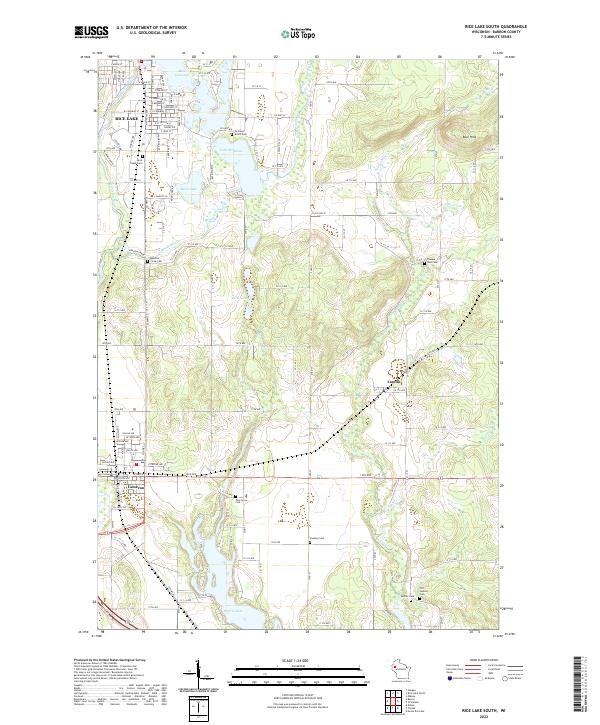
2022 Rice Lake South
Barron County, WI
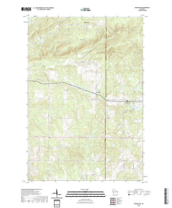
2022 Strickland
Barron County, WI