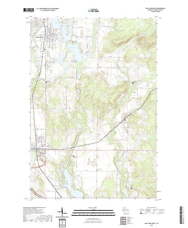
2022 Map of Rice Lake South
USGS Topo · Published 2022About this map
Rice Lake sits at the northern edge of this Barron County landscape, where the Red Cedar River flows through a series of significant glacial water bodies. The settlement pattern follows a clear transition from the urban grid of the city to the unincorporated community of Canton and the village of Cameron to the south. This area is particularly rich in genealogical data, preserving the locations of numerous burial grounds such as Orchard Beach Cem, Saint Joseph Cem, and the remote Pioneer Rest Cem.
Find a feature on this map
111 named features on this map. Tap any name to fly to it.
Don’t see what you’re looking for? This feature index may not catch every label — zoom into the map to look around manually.
Map Details
Editions of this 2022 Rice Lake South Map
This is the sole edition of this map. No revisions or reprints were ever made.
Other maps of this area

1949 · Rice Lake
USGS Topo · 1:48,000

1951 · Shell Lake
USGS Topo · 1:48,000

1951 · Rice Lake
USGS Topo · 1:48,000

1951 · Chetek
USGS Topo · 1:62,500

1951 · Barron
USGS Topo · 1:62,500

1953 · Rice Lake
USGS Topo · 1:250,000

1959 · Rice Lake
USGS Topo · 1:250,000

1965 · Rice Lake
USGS Topo · 1:62,500

1965 · Shell Lake
USGS Topo · 1:62,500
1978 · Barron
USGS Topo · 1:24,000