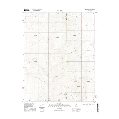
2017 Map of Rice Mountain
USGS Topo · Published 2017About this map
Rice Mountain and the high ridges of the Needle Mountains dominate this high-desert landscape straddling the border of Iron County, Utah, and Lincoln County, Nevada. The survey details a network of canyons and high valleys, including Hamlin Valley and Horse Valley, where seasonal drainage has carved features like Rice Canyon and Cottonwood Wash. For genealogists and local historians, the presence of the State Line Cem near State Line Canyon serves as a lone marker of human presence in a territory largely defined by its geological landmarks, such as Canyon Peak and State Line Summit. Critical water sources for travelers and livestock are documented throughout the arid terrain, specifically at Chokecherry Spring, Butcher Spring, and Tobe Spring.
Find a feature on this map
34 named features on this map. Tap any name to fly to it.
Don’t see what you’re looking for? This feature index may not catch every label — zoom into the map to look around manually.
Map Details
Editions of this 2017 Rice Mountain Map
This is the sole edition of this map. No revisions or reprints were ever made.
Other maps of this area

1885 · St. George
USGS Topo · 1:250,000

1885 · Pioche
USGS Topo · 1:250,000

1886 · Pioche
USGS Topo · 1:250,000

1891 · St. George
USGS Topo · 1:250,000

1953 · Richfield
USGS Topo · 1:250,000

1953 · Cedar City
USGS Topo · 1:250,000

1954 · Caliente
USGS Topo · 1:250,000

1956 · Lund
USGS Topo · 1:250,000

1958 · Richfield
USGS Topo · 1:250,000

1958 · Cedar City
USGS Topo · 1:250,000