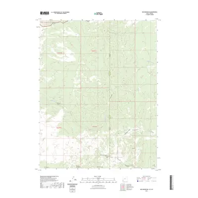
2023 Map of Rice Mountain
USGS Topo · Published 2023About this map
The Nevada Utah border defines this high-elevation landscape, where the Needle Mountains and Mahogany Mountains meet. This survey documents the intersection of Lincoln Co, Nevada, and Iron Co, Utah, a region characterized by dramatic relief and isolated water sources. The White Rock Range Wilderness dominates the northern reaches, while the State Line bisects several prominent peaks and valleys, including State Line Summit and the State Line Bench.
Find a feature on this map
31 named features on this map. Tap any name to fly to it.
Don’t see what you’re looking for? This feature index may not catch every label — zoom into the map to look around manually.
Map Details
Editions of this 2023 Rice Mountain Map
This is the sole edition of this map. No revisions or reprints were ever made.
Other maps of this area

1885 · St. George
USGS Topo · 1:250,000

1885 · Pioche
USGS Topo · 1:250,000

1886 · Pioche
USGS Topo · 1:250,000

1891 · St. George
USGS Topo · 1:250,000

1953 · Richfield
USGS Topo · 1:250,000

1953 · Cedar City
USGS Topo · 1:250,000

1954 · Caliente
USGS Topo · 1:250,000

1956 · Lund
USGS Topo · 1:250,000

1958 · Richfield
USGS Topo · 1:250,000

1958 · Cedar City
USGS Topo · 1:250,000