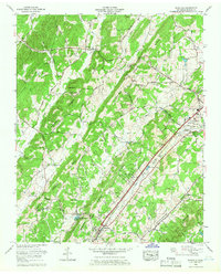
1964 Map of Riceville
USGS Topo · Published 1966About this map
Mouse Creek and the Southern Railway corridor anchor this mid-1960s study of the terrain south of Athens. The landscape is defined by the northeast-to-southwest orientation of Rogers Ridge and Valley Ridge, which funnel both drainage and transportation through Dry Valley. Significant local infrastructure is evident in the Fish Hatchery near the community of Riceville and the State Area Vocational Technical School on the western edge of the county seat.
Find a feature on this map
58 named features on this map. Tap any name to fly to it.
Don’t see what you’re looking for? This feature index may not catch every label — zoom into the map to look around manually.
Map Details
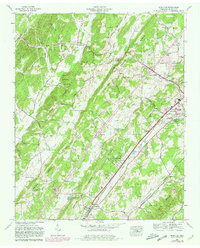
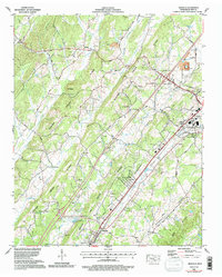
Editions of this 1964 Riceville Map
3 editions found
Other maps of this area

1886 · Cleveland
USGS Topo · 1:125,000

1887 · Kingston
USGS Topo · 1:125,000

1891 · Kingston
USGS Topo · 1:125,000

1892 · Cleveland
USGS Topo · 1:125,000

1893 · Kingston
USGS Topo · 1:125,000

1895 · Cleveland
USGS Topo · 1:125,000

1901 · Cleveland
USGS Topo · 1:125,000

1935 · Niota
USGS Topo · 1:24,000

1935 · Calhoun
USGS Topo · 1:24,000

1935 · Athens
USGS Topo · 1:24,000