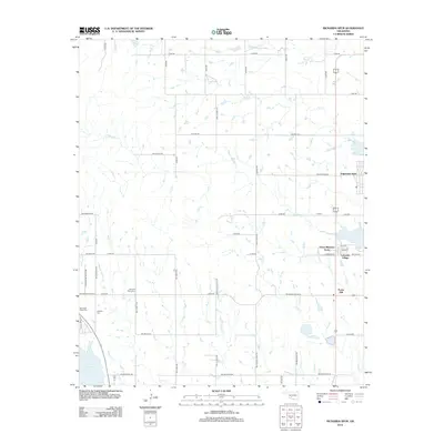
2012 Map of Richards Spur
USGS Topo · Published 2012About this map
Paradise Valley Cem and the Mt Scott Cem lie at the heart of this landscape, offering significant touchpoints for genealogists and local historians. The area is defined by a series of residential clusters and small developments that emerged near the shores of Lake Lawtonka, including Green Meadow Acres, Lakeside Village, and Edgewater Park. These settlements are linked by a grid of rural roads such as NW Meers Porter HL and NW McIntosh Rd, which cross the drainage basins of Chandler Cr and Mission Cr.
Find a feature on this map
52 named features on this map. Tap any name to fly to it.
Don’t see what you’re looking for? This feature index may not catch every label — zoom into the map to look around manually.
Map Details
Editions of this 2012 Richards Spur Map
This is the sole edition of this map. No revisions or reprints were ever made.
Other maps of this area

1937 · Cache
USGS Topo · 1:48,000

1942 · Cache
USGS Topo · 1:62,500

1946 · Lawton
USGS Topo · 1:62,500

1949 · Mount Scott
USGS Topo · 1:24,000

1949 · Arbuckle Hill
USGS Topo · 1:24,000

1949 · Elgin
USGS Topo · 1:24,000

1949 · Fort Sill
USGS Topo · 1:24,000

1950 · Saddle Mountain
USGS Topo · 1:62,500

1955 · Lawton
USGS Topo · 1:250,000

1956 · Arbuckle Hill
USGS Topo · 1:24,000