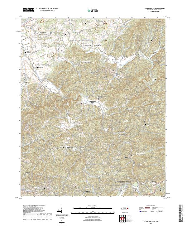
2022 Map of Richardson Cove
USGS Topo · Published 2022About this map
The Little Pigeon River and its East Fork define the settlement patterns of this Sevier County landscape, where valleys are carved between the rising elevations of English Mountain and Webb Mountain. This modern survey documents the interface between established communities like Sevierville and the northern boundary of the Great Smoky Mountains National Park. For genealogists, the map is particularly dense with family-named landmarks and resting places, from the Kear - Loveday Cemetery near Harrisburg to the Marion Green Cemetery in the southern reaches.
Find a feature on this map
98 named features on this map. Tap any name to fly to it.
Don’t see what you’re looking for? This feature index may not catch every label — zoom into the map to look around manually.
Map Details
Editions of this 2022 Richardson Cove Map
This is the sole edition of this map. No revisions or reprints were ever made.
Other maps of this area

1886 · Knoxville
USGS Topo · 1:125,000

1892 · Knoxville
USGS Topo · 1:125,000

1893 · Mt Guyot
USGS Topo · 1:125,000

1894 · Knoxville
USGS Topo · 1:125,000

1895 · Knoxville
USGS Topo · 1:125,000

1901 · Knoxville
USGS Topo · 1:125,000

1912 · Mt Guyot
USGS Topo · 1:125,000

1935 · English Mountain
USGS Topo · 1:48,000

1935 · Clevenger
USGS Topo · 1:24,000

1935 · Jones Cove
USGS Topo · 1:24,000