
1971 Map of Richardson Lake
USGS Topo · Published 1974About this map
Crescent Lake National Wildlife Refuge anchors the northeastern corner of this landscape in the early 1970s, showcasing a region defined by its numerous isolated water bodies and shifting sands. The map details a complex hydrological network including Swan Lake, the elongated Twin Lakes, and Richardson Lake, where a specific Pump landmark is noted along its western shore. This is ranching country, evidenced by the McGinley Ranch and small-scale industrial sites like the Sandpit in the southern sections. The terrain is marked by intricate contour lines that represent the unique sand hills topography, where drainage like Richstein Run flows through the low-lying areas between the dunes. Smaller features like Horse Lake and Lower Harrison Lake further illustrate the seasonal or permanent wetlands that provide critical habitat within the refuge and surrounding private lands.
Find a feature on this map
10 named features on this map. Tap any name to fly to it.
Don’t see what you’re looking for? This feature index may not catch every label — zoom into the map to look around manually.
Map Details
Editions of this 1971 Richardson Lake Map
This is the sole edition of this map. No revisions or reprints were ever made.
Other maps of this area

1896 · Browns Creek
USGS Topo · 1:125,000

1899 · Browns Creek
USGS Topo · 1:125,000

1949 · Mumper
USGS Topo · 1:62,500

1950 · Crescent Lake
USGS Topo · 1:62,500

1950 · Storm Lake
USGS Topo · 1:62,500

1954 · Scottsbluff
USGS Topo · 1:250,000

1958 · Scottsbluff
USGS Topo · 1:250,000

1971 · Tar Valley SW
USGS Topo · 1:24,000
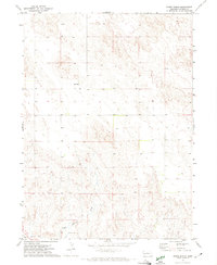
1971 · Buske Ranch
USGS Topo · 1:24,000
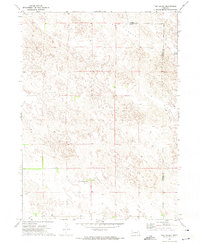
1971 · Tar Valley
USGS Topo · 1:24,000