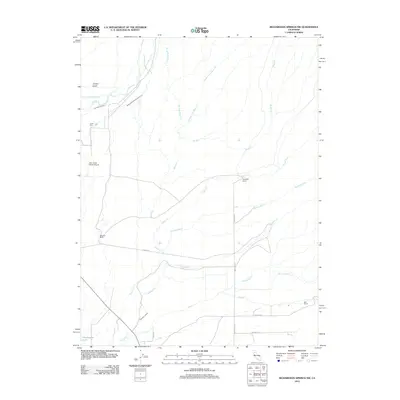
2012 Map of Richardson Springs NW
USGS Topo · Published 2012About this map
Agricultural water management and family ranching define this portion of Butte County. The landscape is etched by an intricate network of waterways, including natural flows like Singer Cr and Rattlesnake Cr, alongside man-made improvements such as the Cone Kimball Ditch and the Deer Creek Irrigation Ditch. These diversions reflect the region's long-standing reliance on controlled irrigation to support its ranching economy. Central to the local history are the named properties like Stephens Ranch, McKenzie Ranch, and Bell Ranch, which highlight the importance of large-scale landholdings in the area. Transportation and infrastructure are represented by the Deer Creek Ranch Airport and a grid of rural roads including Lassen Rd and Meridian Rd. The presence of the Carter Cem offers a focal point for genealogical research, anchoring the history of those who settled this terrain.
Find a feature on this map
25 named features on this map. Tap any name to fly to it.
Don’t see what you’re looking for? This feature index may not catch every label — zoom into the map to look around manually.
Map Details
Editions of this 2012 Richardson Springs NW Map
This is the sole edition of this map. No revisions or reprints were ever made.
Other maps of this area

1886 · Lassen Peak
USGS Topo · 1:250,000

1890 · Red Bluff
USGS Topo · 1:250,000

1891 · Chico
USGS Topo · 1:125,000

1892 · Lassen Peak
USGS Topo · 1:250,000

1893 · Chico
USGS Topo · 1:125,000

1894 · Lassen Peak
USGS Topo · 1:250,000

1894 · Red Bluff
USGS Topo · 1:250,000

1895 · Chico
USGS Topo · 1:125,000

1904 · Vina
USGS Topo · 1:62,500

1905 · Tehama
USGS Topo · 1:62,500