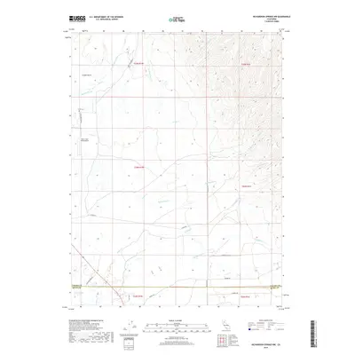
2018 Map of Richardson Springs NW
USGS Topo · Published 2018About this map
Carter Cem and the Deer Creek Ranch Airport sit at the transition between the agricultural floor of the northern Sacramento Valley and the rising foothills. This landscape is defined by a dense network of seasonal drainage creeks, including Singer Cr, Rattlesnake Cr, and Zimmershed Cr, which flow southwest toward the valley. The presence of the Cana Kimball Ditch and Delaney Slough reflects the region's managed water systems.
Find a feature on this map
29 named features on this map. Tap any name to fly to it.
Don’t see what you’re looking for? This feature index may not catch every label — zoom into the map to look around manually.
Map Details
Editions of this 2018 Richardson Springs NW Map
This is the sole edition of this map. No revisions or reprints were ever made.
Other maps of this area

1886 · Lassen Peak
USGS Topo · 1:250,000

1890 · Red Bluff
USGS Topo · 1:250,000

1891 · Chico
USGS Topo · 1:125,000

1892 · Lassen Peak
USGS Topo · 1:250,000

1893 · Chico
USGS Topo · 1:125,000

1894 · Lassen Peak
USGS Topo · 1:250,000

1894 · Red Bluff
USGS Topo · 1:250,000

1895 · Chico
USGS Topo · 1:125,000

1904 · Vina
USGS Topo · 1:62,500

1905 · Tehama
USGS Topo · 1:62,500