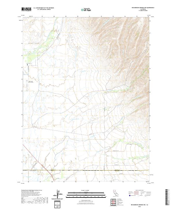
2022 Map of Richardson Springs NW
USGS Topo · Published 2022About this map
Central Valley sits at the southern edge of this landscape, positioned just below the boundary where Tehama and Butte Counties meet. This 2022 survey documents a complex network of seasonal and perennial drainages descending from the higher elevations to the northeast, including Singer Cr, Rattlesnake Cr, and Middle Fork Brush Cr. The infrastructure of the area is defined by long-established rural routes such as Lassen Rd and Reed Orchard Rd, which connect remote ranching sites like the Deer Creek Ranch Airport. Genealogists and local historians can locate the Carter Cem in the northwestern sector, while the presence of the Cana Kimball Ditch and Delaney Slough illustrates the importance of water management in this part of California's Sacramento Valley foothills. The southern portion features more modern landmarks like Vandergrift Lake and named paths such as Roney Trl and Campbellville Trl.
Find a feature on this map
31 named features on this map. Tap any name to fly to it.
Don’t see what you’re looking for? This feature index may not catch every label — zoom into the map to look around manually.
Map Details
Editions of this 2022 Richardson Springs NW Map
This is the sole edition of this map. No revisions or reprints were ever made.
Other maps of this area

1886 · Lassen Peak
USGS Topo · 1:250,000

1890 · Red Bluff
USGS Topo · 1:250,000

1891 · Chico
USGS Topo · 1:125,000

1892 · Lassen Peak
USGS Topo · 1:250,000

1893 · Chico
USGS Topo · 1:125,000

1894 · Lassen Peak
USGS Topo · 1:250,000

1894 · Red Bluff
USGS Topo · 1:250,000

1895 · Chico
USGS Topo · 1:125,000

1904 · Vina
USGS Topo · 1:62,500

1905 · Tehama
USGS Topo · 1:62,500