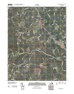
2010 Map of Richardsville
USGS Topo · Published 2010About this map
The Rappahannock River and Rapidan River converge at the southern edge of this landscape, defining the rural character of Fauquier County. In the north, small communities like Sumerduck and Silver Hill center on crossroads, while the Sumerduck Post Office and Embry Cemetery mark the area's social and ancestral foundations. The presence of the Goldvein Post Office and nearby Oders Corner reflects a history of small-scale commerce along the secondary roads that thread between the runs and branches.
Find a feature on this map
60 named features on this map. Tap any name to fly to it.
Don’t see what you’re looking for? This feature index may not catch every label — zoom into the map to look around manually.
Map Details
Editions of this 2010 Richardsville Map
This is the sole edition of this map. No revisions or reprints were ever made.
Other maps of this area

1887 · Spottsylvania
USGS Topo · 1:125,000

1892 · Spottsylvania
USGS Topo · 1:125,000

1894 · Warrenton
USGS Topo · 1:125,000

1894 · Warrenton
USGS Topo · 1:62,500

1927 · Remington
USGS Topo · 1:48,000

1930 · Warrenton
USGS Topo · 1:62,500

1943 · Catlett
USGS Topo · 1:62,500

1943 · Germanna Bridge
USGS Topo · 1:24,000

1943 · Chancellorsville
USGS Topo · 1:24,000

1943 · Salem Church
USGS Topo · 1:24,000