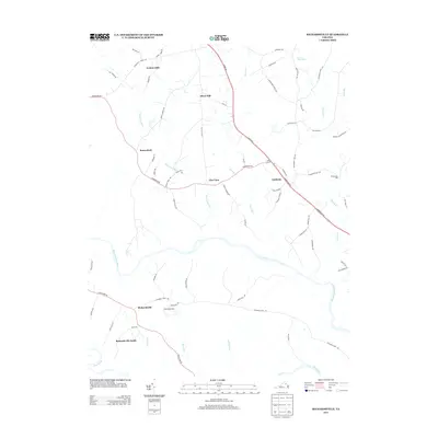
2013 Map of Richardsville
USGS Topo · Published 2013About this map
The Rappahannock River and Rapidan R converge in the southern portion of this landscape, defining the topography of southern Fauquier County. Small settlements and rural crossroads like Richardsville, Goldvein, and Sumerduck are connected by a network of historic routes including Warrenton Rd and Richards Ferry Rd. The placement of Thompsons Mill and numerous watercourses like Deep Run and Mine Run illustrate a landscape shaped by early mill and mining economies. To the south, Richardsville South and the Happyland area, including Camp Happyland, sit near the confluence of the two major rivers. The map also captures several smaller named hills and rises such as Silver Hill and Golden Hills, showing the dispersed nature of local farmsteads and residential development before modern expansion.
Find a feature on this map
68 named features on this map. Tap any name to fly to it.
Don’t see what you’re looking for? This feature index may not catch every label — zoom into the map to look around manually.
Map Details
Editions of this 2013 Richardsville Map
This is the sole edition of this map. No revisions or reprints were ever made.
Other maps of this area

1887 · Spottsylvania
USGS Topo · 1:125,000

1892 · Spottsylvania
USGS Topo · 1:125,000

1894 · Warrenton
USGS Topo · 1:125,000

1894 · Warrenton
USGS Topo · 1:62,500

1927 · Remington
USGS Topo · 1:48,000

1930 · Warrenton
USGS Topo · 1:62,500

1943 · Catlett
USGS Topo · 1:62,500

1943 · Germanna Bridge
USGS Topo · 1:24,000

1943 · Chancellorsville
USGS Topo · 1:24,000

1943 · Salem Church
USGS Topo · 1:24,000