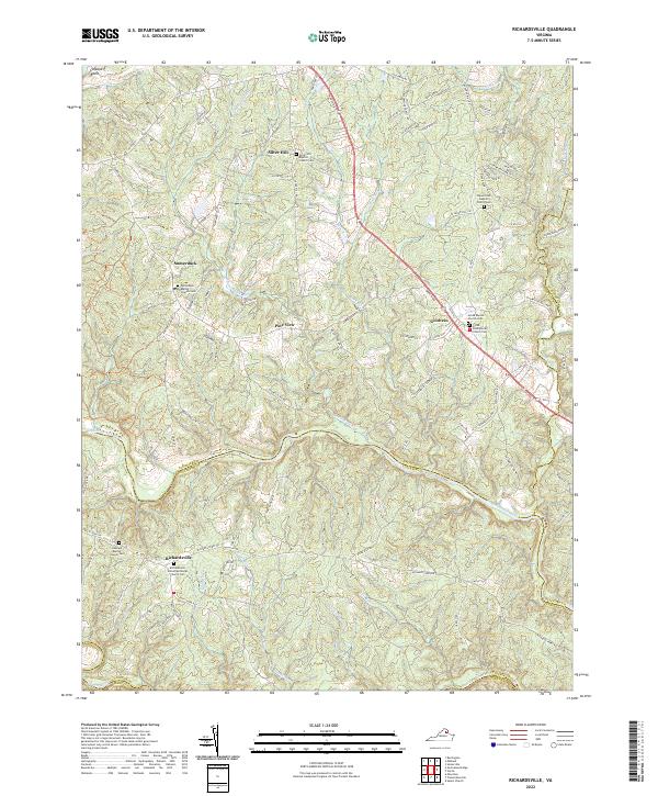
2022 Map of Richardsville
USGS Topo · Published 2022About this map
The Rappahannock River and Rapidun River converge at the southern boundary of this Piedmont region, defining a landscape where rural crossroads and community churches anchor local history. The settlement of Goldvein sits along Marsh Rd, a name echoing the area's gold mining heritage, while the small hamlet of Sumerduck is located to the west. This 2022 survey documents the persistent rural character of Fauquier and Culpeper counties, tracing a network of creeks like Sumerduck Run and Rock Run that flow toward the river systems. Local genealogy is well-preserved through several established congregations and their associated burial grounds, including the Richardsville United Methodist Church Cem and the Grove Presbyterian Church Cem. The distribution of these sites across places like Silver Hill and Pine View illustrates the traditional settlement patterns that have shaped this portion of the Virginia countryside for generations.
Find a feature on this map
104 named features on this map. Tap any name to fly to it.
Don’t see what you’re looking for? This feature index may not catch every label — zoom into the map to look around manually.
Map Details
Editions of this 2022 Richardsville Map
This is the sole edition of this map. No revisions or reprints were ever made.
Other maps of this area

1887 · Spottsylvania
USGS Topo · 1:125,000

1892 · Spottsylvania
USGS Topo · 1:125,000

1894 · Warrenton
USGS Topo · 1:125,000

1894 · Warrenton
USGS Topo · 1:62,500

1927 · Remington
USGS Topo · 1:48,000

1930 · Warrenton
USGS Topo · 1:62,500

1943 · Catlett
USGS Topo · 1:62,500

1943 · Germanna Bridge
USGS Topo · 1:24,000

1943 · Chancellorsville
USGS Topo · 1:24,000

1943 · Salem Church
USGS Topo · 1:24,000