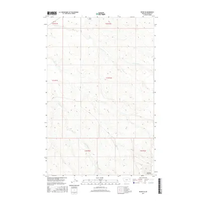
2017 Map of Richey SE
USGS Topo · Published 2017About this map
Big Sheep Mountains dominate the southern reach of this Dawson County landscape, marking a rugged transition in the high plains of eastern Montana. The map documents a sparsely populated ranching and agricultural region defined by the intricate drainage systems of the E Fork Pasture Cr and W Fork Pasture Cr. These seasonal waterways carve deep coulees into the plateau, dictating the placement of the section-line roads such as Rd 431 and Rd 433 that navigate the high ground. In the northern corner, the Richey Airport serves as a vital transportation node for this expansive territory. This 2017 survey by the U.S. Geological Survey captures the enduring Public Land Survey System grid, which continues to organize the vast open spaces of the northern Great Plains into the townships and ranges established over a century ago.
Find a feature on this map
14 named features on this map. Tap any name to fly to it.
Don’t see what you’re looking for? This feature index may not catch every label — zoom into the map to look around manually.
Map Details
Editions of this 2017 Richey SE Map
This is the sole edition of this map. No revisions or reprints were ever made.
Other maps of this area

1909 · Glendive
USGS Topo · 1:250,000

1954 · Glendive
USGS Topo · 1:250,000

1957 · Glendive
USGS Topo · 1:250,000

1958 · Glendive
USGS Topo · 1:250,000

1972 · Clay Butte
USGS Topo · 1:24,000

1972 · Kuester Lake
USGS Topo · 1:24,000

1972 · Bloomfield
USGS Topo · 1:24,000

1981 · Glendive
USGS Topo · 1:100,000

1981 · Sidney
USGS Topo · 1:100,000

1982 · Circle
USGS Topo · 1:100,000