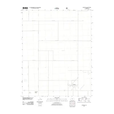
2011 Map of Richfield
USGS Topo · Published 2011About this map
Richfield serves as the primary hub of activity in this corner of Morton County, situated just north of the North Fork Cimarron River. The landscape is defined by an exceptionally rigid grid of agricultural roads, including County Road BB, County Road Z, and County Road X, which partition the High Plains into massive rectangular sections. This systematic division of the land reflects the industrial scale of Western Kansas farming and ranching during the early 21st century.
Find a feature on this map
18 named features on this map. Tap any name to fly to it.
Don’t see what you’re looking for? This feature index may not catch every label — zoom into the map to look around manually.
Map Details
Editions of this 2011 Richfield Map
This is the sole edition of this map. No revisions or reprints were ever made.
Other maps of this area

1955 · Dodge City
USGS Topo · 1:250,000

1958 · Dodge City
USGS Topo · 1:250,000

1959 · Dodge City
USGS Topo · 1:250,000

1973 · Richfield NW
USGS Topo · 1:24,000

1973 · Shore Airport SW
USGS Topo · 1:24,000

1973 · Shore Airport
USGS Topo · 1:24,000

1973 · Rolla NW
USGS Topo · 1:24,000

1973 · Richfield NE
USGS Topo · 1:24,000

1973 · Elkhart NE
USGS Topo · 1:24,000
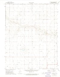
1973 · Richfield SW
USGS Topo · 1:24,000