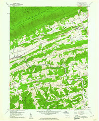
1959 Map of Richfield
USGS Topo · Published 1961About this map
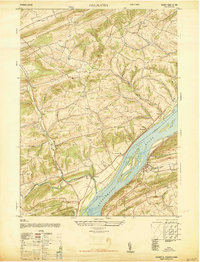
Bald Eagle Mountain and Shade Mountain dominate the northern landscape of this Central Pennsylvania region, where narrow agricultural valleys are defined by a series of parallel ridges. The settlement of Richfield sits at a crossroads in the western portion of the map, while Mount Pleasant Mills anchors the northeast near the Mahantango Creek. This area, split between Snyder and Juniata counties, is characterized by a high density of rural houses of worship, such as St Johns Ch, Mt Zion Ch, and Daniels Ch, suggesting a deeply rooted community structure centered around these parish locations. The presence of numerous quarries and the Beavertown Fire Tower atop the northern heights points to a local economy tied to the land's natural resources. From the northern forests of Franklin State Forest to the southern farming tracts in Buckwheat Valley, the map details a traditional rural landscape before late 20th-century modernization.
Find a feature on this map
63 named features on this map. Tap any name to fly to it.
Don’t see what you’re looking for? This feature index may not catch every label — zoom into the map to look around manually.
Map Details
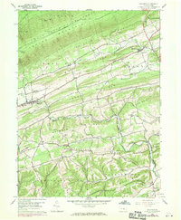
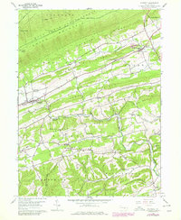
Editions of this 1959 Richfield Map
3 editions found
Other maps of this area

1893 · Sunbury
USGS Topo · 1:62,500

1893 · Millersburg
USGS Topo · 1:62,500

1907 · Millerstown
USGS Topo · 1:62,500

1938 · Mifflinburg
USGS Topo · 1:48,000

1943 · Millerstown
USGS Topo · 1:62,500

1943 · Millersburg
USGS Topo · 1:62,500

1943 · Sunbury
USGS Topo · 1:62,500

1943 · Mifflinburg
USGS Topo · 1:62,500
1947 · Millersburg
USGS Topo · 1:24,000
1947 · Dalmatia
USGS Topo · 1:24,000
Featured Places
- Monroe Township, PA
- West Perry Township, PA
- Mount Pleasant Mills, Perry Township
- Franklin Township, PA
- Greenwood Township, PA