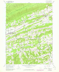
1959 Map of Richfield
USGS Topo · Published 1979About this map
The rugged boundary between Snyder and Juniata Counties is defined by a series of prominent ridges, including Shade Mountain and West Perry Ridge. This 1959 survey, updated through 1978, illustrates a landscape where small valley settlements like Richfield and Mount Pleasant Mills serve as local hubs for a deeply rooted rural community. The map reveals a high density of country churches and family cemeteries, such as Mt Zion Ch and Arbogast Cem, which suggest the historic social fabric of the area's agricultural valleys.
Find a feature on this map
50 named features on this map. Tap any name to fly to it.
Don’t see what you’re looking for? This feature index may not catch every label — zoom into the map to look around manually.
Map Details
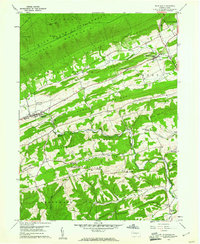
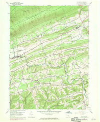
Editions of this 1959 Richfield Map
3 editions found
Other maps of this area

1893 · Sunbury
USGS Topo · 1:62,500

1893 · Millersburg
USGS Topo · 1:62,500

1907 · Millerstown
USGS Topo · 1:62,500

1938 · Mifflinburg
USGS Topo · 1:48,000

1943 · Millerstown
USGS Topo · 1:62,500

1943 · Millersburg
USGS Topo · 1:62,500

1943 · Sunbury
USGS Topo · 1:62,500

1943 · Mifflinburg
USGS Topo · 1:62,500
1947 · Millersburg
USGS Topo · 1:24,000
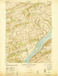
1947 · Dalmatia
USGS Topo · 1:24,000
Featured Places
- Monroe Township, PA
- West Perry Township, PA
- Mount Pleasant Mills, Perry Township
- Franklin Township, PA
- Greenwood Township, PA