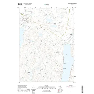
2019 Map of Richfield Springs
USGS Topo · Published 2019About this map
The village of Richfield Springs serves as a northern gateway to the leatherstocking country of New York, situated at the junction of the Herkimer and Otsego county line. This 2019 survey illustrates the dense concentration of civic and historic landmarks in the village, including the Presbyterian Church Cem and Lakeview Cem, before the landscape rises toward the prominent height of Canadarago Hill. The map detail captures the northern reaches of both Canadarago Lake and Otsego Lake, connected by the winding course of Ocquionis Cr. To the south and east, the terrain becomes increasingly complex around Rum Hill and Metcalf Hill, where smaller settlements like Springfield Center and Taylortown are documented alongside numerous family-named cemeteries such as Pierce Cem and the uniquely named Twelve Thousand Cem.
Find a feature on this map
125 named features on this map. Tap any name to fly to it.
Don’t see what you’re looking for? This feature index may not catch every label — zoom into the map to look around manually.
Map Details
Editions of this 2019 Richfield Springs Map
This is the sole edition of this map. No revisions or reprints were ever made.
Other maps of this area

1903 · Richfield Springs
USGS Topo · 1:62,500

1907 · Winfield
USGS Topo · 1:62,500

1907 · Cooperstown
USGS Topo · 1:62,500

1909 · Cooperstown
USGS Topo · 1:62,500

1910 · Hartwick
USGS Topo · 1:62,500

1912 · Hartwick
USGS Topo · 1:62,500

1943 · Schuyler Lake
USGS Topo · 1:24,000

1943 · Jordanville
USGS Topo · 1:24,000

1943 · Richfield Springs
USGS Topo · 1:24,000

1943 · Westford
USGS Topo · 1:24,000