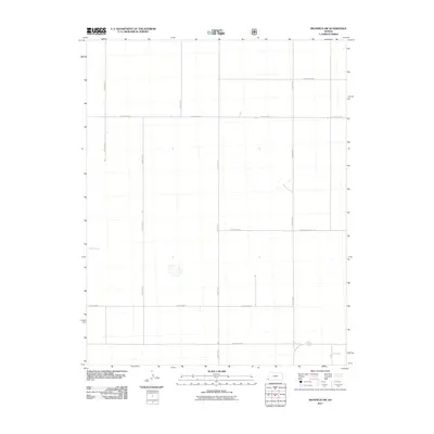
2011 Map of Richfield SW
USGS Topo · Published 2011About this map
Morton County's agricultural heartland is defined by a rigorous section-line grid in this 2011 survey of the high plains. The landscape is organized by an extensive network of rural thoroughfares, including County Hwy V and County Road Bb, which facilitate the movement of equipment and livestock through this sparsely populated corner of Kansas. The dominance of routes like County Road X and County Road U reflects the systematic land partitioning of the region, where the terrain transitions toward the Cimarron River valley to the north. This map provides a clear look at the early 21st-century infrastructure used to manage the expansive open spaces and ranch lands near the southwestern border of the state.
Find a feature on this map
11 named features on this map. Tap any name to fly to it.
Don’t see what you’re looking for? This feature index may not catch every label — zoom into the map to look around manually.
Map Details
Editions of this 2011 Richfield SW Map
This is the sole edition of this map. No revisions or reprints were ever made.
Other maps of this area

1892 · Vilas
USGS Topo · 1:125,000

1955 · La Junta
USGS Topo · 1:250,000

1955 · Dodge City
USGS Topo · 1:250,000

1958 · La Junta
USGS Topo · 1:250,000

1958 · Dodge City
USGS Topo · 1:250,000

1959 · Dodge City
USGS Topo · 1:250,000

1968 · La Junta
USGS Topo · 1:250,000

1973 · Richfield NW
USGS Topo · 1:24,000

1973 · Richfield NE
USGS Topo · 1:24,000

1973 · Elkhart NE
USGS Topo · 1:24,000