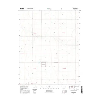
2015 Map of Richfield SW
USGS Topo · Published 2015About this map
Cimarron National Grassland dominates the southwestern corner of this landscape, marking a transition into protected plains managed for conservation and public use. This area of Morton County is defined by a grid-like network of rural transit corridors including BB Blvd, AA Blvd, and X Blvd, which carve the terrain into neat sections typical of the Public Land Survey System. The map documents the vast, open spaces of the High Plains, where elevation shifts are subtle and the primary human impact is the persistent geometry of county roads. Smaller pockets of the Cimarron NG are scattered throughout the southern half of the quadrangle, illustrating the complex boundaries between public and private holdings in this agricultural and grazing region.
Find a feature on this map
19 named features on this map. Tap any name to fly to it.
Don’t see what you’re looking for? This feature index may not catch every label — zoom into the map to look around manually.
Map Details
Editions of this 2015 Richfield SW Map
This is the sole edition of this map. No revisions or reprints were ever made.
Other maps of this area

1892 · Vilas
USGS Topo · 1:125,000

1955 · La Junta
USGS Topo · 1:250,000

1955 · Dodge City
USGS Topo · 1:250,000

1958 · La Junta
USGS Topo · 1:250,000

1958 · Dodge City
USGS Topo · 1:250,000

1959 · Dodge City
USGS Topo · 1:250,000

1968 · La Junta
USGS Topo · 1:250,000

1973 · Richfield NW
USGS Topo · 1:24,000

1973 · Richfield NE
USGS Topo · 1:24,000

1973 · Elkhart NE
USGS Topo · 1:24,000