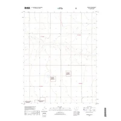
2018 Map of Richfield SW
USGS Topo · Published 2018About this map
The Cimarron National Grassland dominates the southern half of this corner of Morton County, preserving a portion of the high plains shortgrass prairie. The landscape is defined by a rhythmic grid of rural corridors including AA Blvd, BB Blvd, and V Blvd, which segment the terrain into precise sections used for agricultural and grazing purposes. The survey illustrates the stark, systematic layout of the Great Plains, where township boundaries like t31s r43w and t32s r42w dictate the movement of roads and the organization of the land. This map provides a clear view of the intersection between public land management and the legacy of the Homestead Act's grid system in Western Kansas.
Find a feature on this map
18 named features on this map. Tap any name to fly to it.
Don’t see what you’re looking for? This feature index may not catch every label — zoom into the map to look around manually.
Map Details
Editions of this 2018 Richfield SW Map
This is the sole edition of this map. No revisions or reprints were ever made.
Other maps of this area

1892 · Vilas
USGS Topo · 1:125,000

1955 · La Junta
USGS Topo · 1:250,000

1955 · Dodge City
USGS Topo · 1:250,000

1958 · La Junta
USGS Topo · 1:250,000

1958 · Dodge City
USGS Topo · 1:250,000

1959 · Dodge City
USGS Topo · 1:250,000

1968 · La Junta
USGS Topo · 1:250,000

1973 · Richfield NW
USGS Topo · 1:24,000

1973 · Richfield NE
USGS Topo · 1:24,000

1973 · Elkhart NE
USGS Topo · 1:24,000