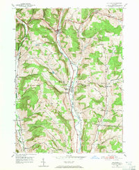
1950 Map of Richford
USGS Topo · Published 1952About this map
Richford and Berkshire anchor this mid-century look at the agricultural valleys of northern Tioga County. The valley floor is dominated by the Lehigh Valley railroad and the meandering East Branch Owego Creek, which together dictated the settlement patterns through Newark Valley and beyond. The landscape is characterized by a series of high ridges, often named for local families, such as Turkey Hill, Nixon Hill, and Jewett Hill, which rise sharply from the watercourses.
Find a feature on this map
52 named features on this map. Tap any name to fly to it.
Don’t see what you’re looking for? This feature index may not catch every label — zoom into the map to look around manually.
Map Details
Editions of this 1950 Richford Map
4 editions found
Other maps of this area

1900 · Dryden
USGS Topo · 1:62,500

1901 · Apalachin
USGS Topo · 1:62,500

1903 · Owego
USGS Topo · 1:62,500

1903 · Harford
USGS Topo · 1:62,500

1904 · Apalachin
USGS Topo · 1:62,500

1906 · Catatonk
USGS Topo · 1:125,000
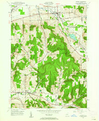
1949 · Dryden
USGS Topo · 1:24,000

1949 · Speedsville
USGS Topo · 1:24,000
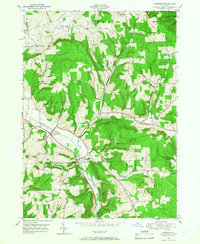
1949 · Harford
USGS Topo · 1:24,000
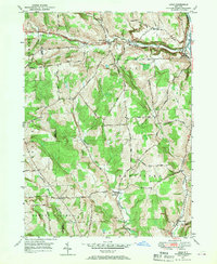
1949 · Lisle
USGS Topo · 1:24,000