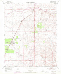
1952 Map of Richgrove
USGS Topo · Published 1971About this map
The Southern Pacific railroad corridor serves as the primary spine of development in this Central Valley landscape, where agriculture and early industrial infrastructure converge. The settlement of Richgrove sits at the heart of this network, positioned just north of the Tulare Co Kern Co boundary. The area's water management is evident in the path of the White River and Rag Gulch, supporting a series of established agricultural operations including the Bartoldus Ranch, Nielson Ranch, and Quinn Ranch.
Find a feature on this map
16 named features on this map. Tap any name to fly to it.
Don’t see what you’re looking for? This feature index may not catch every label — zoom into the map to look around manually.
Map Details
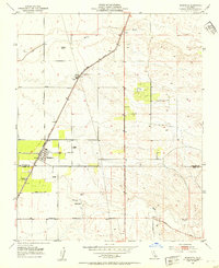
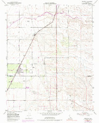
Editions of this 1952 Richgrove Map
3 editions found
Other maps of this area

1926 · Quincy School
USGS Topo · 1:31,680

1927 · McFarland
USGS Topo · 1:31,680

1929 · Delano
USGS Topo · 1:31,680

1929 · Sausalito School
USGS Topo · 1:31,680

1929 · Richgrove
USGS Topo · 1:31,680

1929 · Quincy School
USGS Topo · 1:31,680

1929 · Ducor
USGS Topo · 1:31,680

1930 · McFarland
USGS Topo · 1:31,680

1931 · Deepwell Ranch
USGS Topo · 1:31,680

1932 · Woody
USGS Topo · 1:62,500