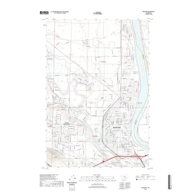
2020 Map of Richland
USGS Topo · Published 2020About this map
The confluence of the Columbia River and the Yakima River anchors this 2020 layout of the Tri-Cities region. The suburban expansion of Richland and West Richland is clearly visible, with dense residential grids extending toward Flat Top Hill and the slopes of Candy Mtn. Transportation and irrigation infrastructure dominate the landscape, from the Horn Rapids Ditch and E Badger Lateral to the proximity of the Richland Airport. Local history and genealogy are preserved in the locations of Resthaven Cem and Sunset Memorial Gardens, providing points of reference for long-time residents. The map also captures the riverine geography of the Columbia, including Nelson Island and Fox Island, alongside the modern road network defined by Bombing Range Rd and Van Giesen St.
Find a feature on this map
142 named features on this map. Tap any name to fly to it.
Don’t see what you’re looking for? This feature index may not catch every label — zoom into the map to look around manually.
Map Details
Editions of this 2020 Richland Map
This is the sole edition of this map. No revisions or reprints were ever made.
Other maps of this area

1917 · Pasco
USGS Topo · 1:125,000

1951 · Richland
USGS Topo · 1:62,500

1953 · Walla Walla
USGS Topo · 1:250,000

1958 · Walla Walla
USGS Topo · 1:250,000

1964 · Kennewick
USGS Topo · 1:24,000

1964 · Pasco
USGS Topo · 1:62,500

1965 · Eltopia
USGS Topo · 1:62,500
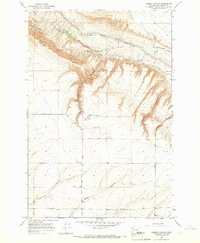
1965 · Weber Canyon
USGS Topo · 1:24,000
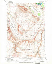
1965 · Badger Mtn
USGS Topo · 1:24,000
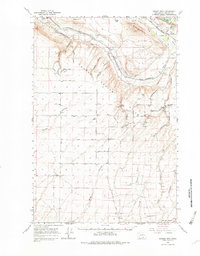
1965 · Badger Mtn
USGS Topo · 1:62,500