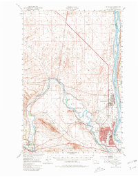
1978 Map of Richland
USGS Topo · Published 1978About this map
The confluence of the Yakima River and the Columbia River anchor this late 1970s view of the Tri-Cities region. The map captures the highly structured urban footprint of Richland, defined by an extensive network of educational and civic institutions like Chief Joseph Jr H S and Hanford H S. To the north, the massive industrial boundary of the Hanford Works looms over the landscape, connected to the city via the U S Government Railroad. This era shows a community built around federal infrastructure, where the Richland Airport and the Bypass Highway facilitate movement between the residential core and the sprawling energy complex. Along the riverbanks, recreational spaces like Sham-na-pum Golf Course and the Pumping Station Boat Ramp on Lake Wallula illustrate how the desert landscape was reclaimed for mid-century suburban life.
Find a feature on this map
64 named features on this map. Tap any name to fly to it.
Don’t see what you’re looking for? This feature index may not catch every label — zoom into the map to look around manually.
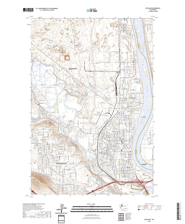
Map Details
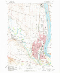
Editions of this 1978 Richland Map
This is the sole edition of this map. No revisions or reprints were ever made.
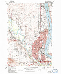
Historical Maps of Pasco Through Time
4 maps found