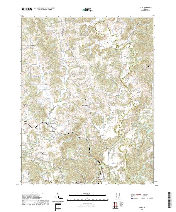
2022 Map of Richland City
USGS Topo · Published 2022About this map
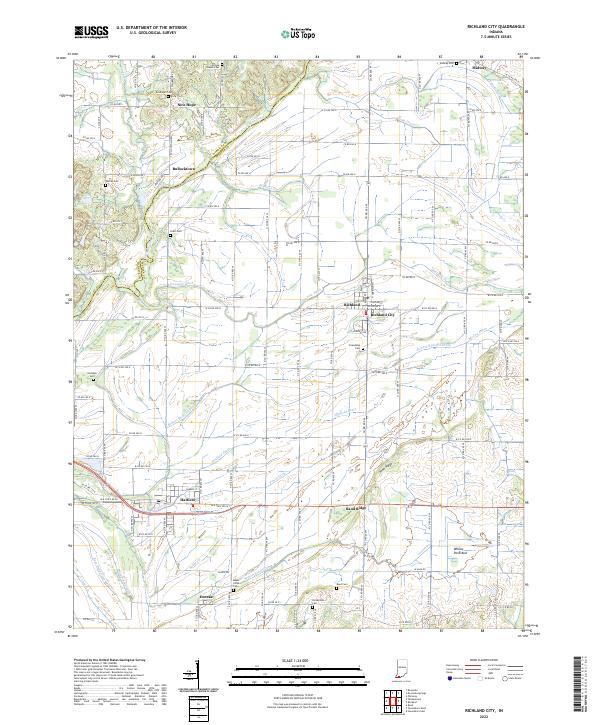
Richland City and the neighboring village of Richland anchor this southwestern Indiana landscape, where the flatlands of the Ohio River valley are crisscrossed by an extensive network of drainage infrastructure. This drainage system, including the Hooppole Ditch, Hatfield Drain, and Tower Ditch, reveals the intensive effort required to manage the low-lying terrain for agriculture. The map captures a high density of rural burial grounds such as Broshears Cem, Graff Cem, and Friendship Cem, providing significant touchpoints for genealogical research in this part of Spencer County. To the south, the settlement of Hatfield and the smaller community of Eureka sit near the winding course of Baker Creek, while the prominent Sand Ridge provides a rare rise in elevation above the surrounding ditches and pond beds, such as Willow Pond Bed.
Find a feature on this map
114 named features on this map. Tap any name to fly to it.
Don’t see what you’re looking for? This feature index may not catch every label — zoom into the map to look around manually.
Map Details
Editions of this 2022 Richland City Map
This is the sole edition of this map. No revisions or reprints were ever made.
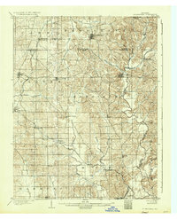
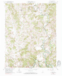
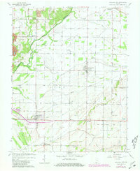
Historical Maps of Midway Through Time
6 maps found